Landsat-8,9が捉えた硫黄島沖の噴火活動(2024年1月31日更新)
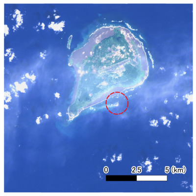
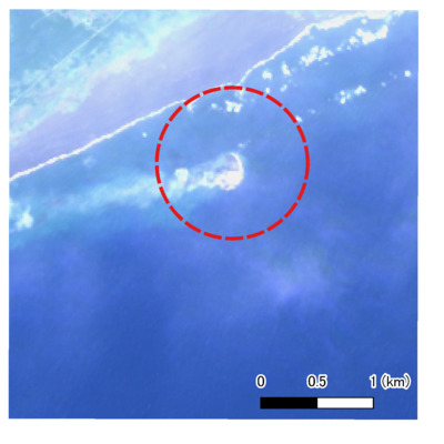
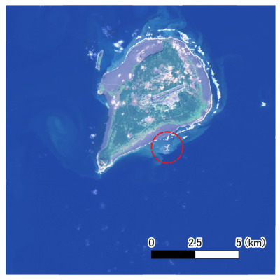
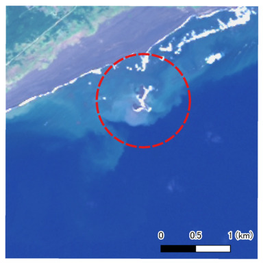
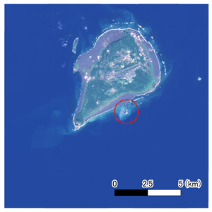
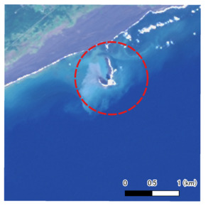
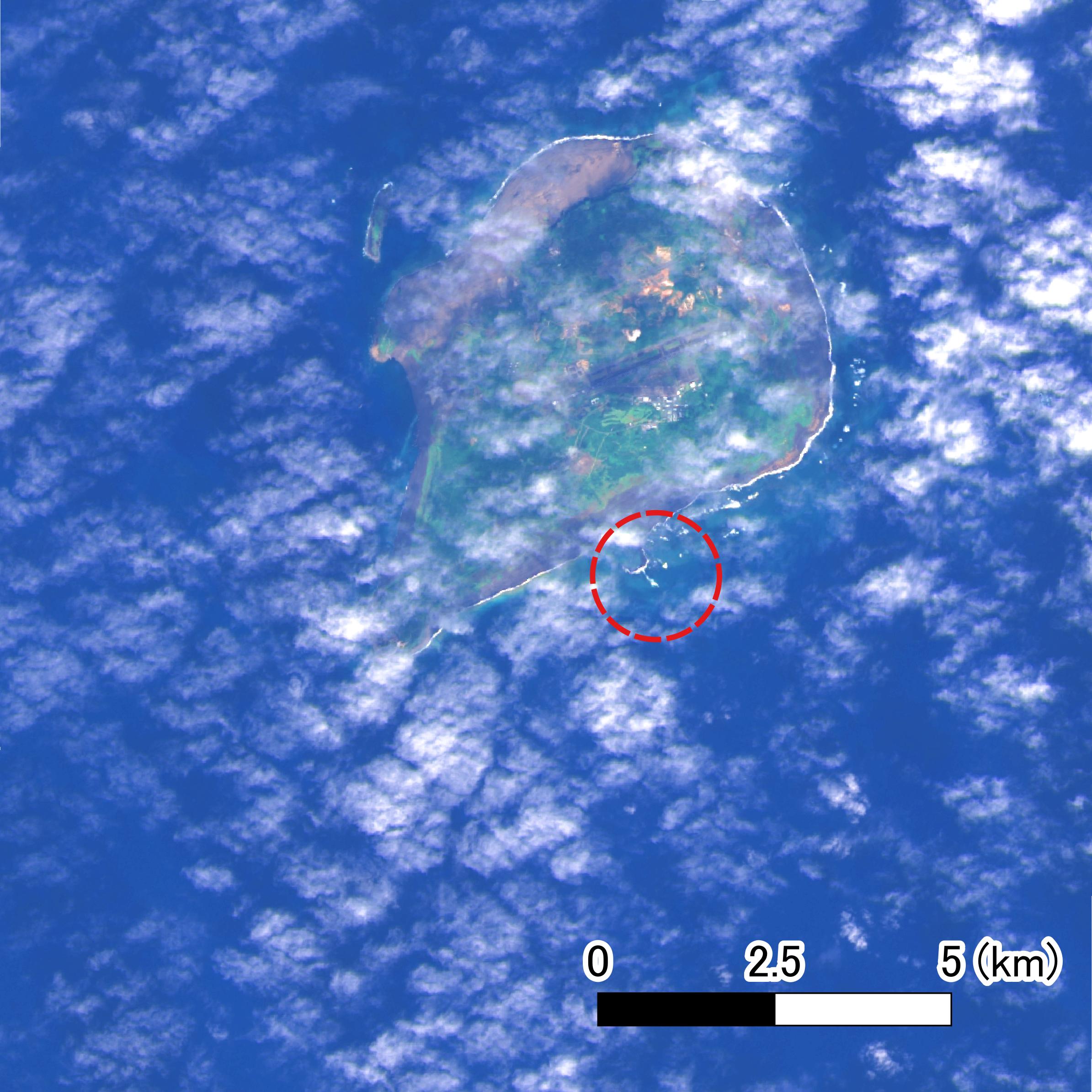
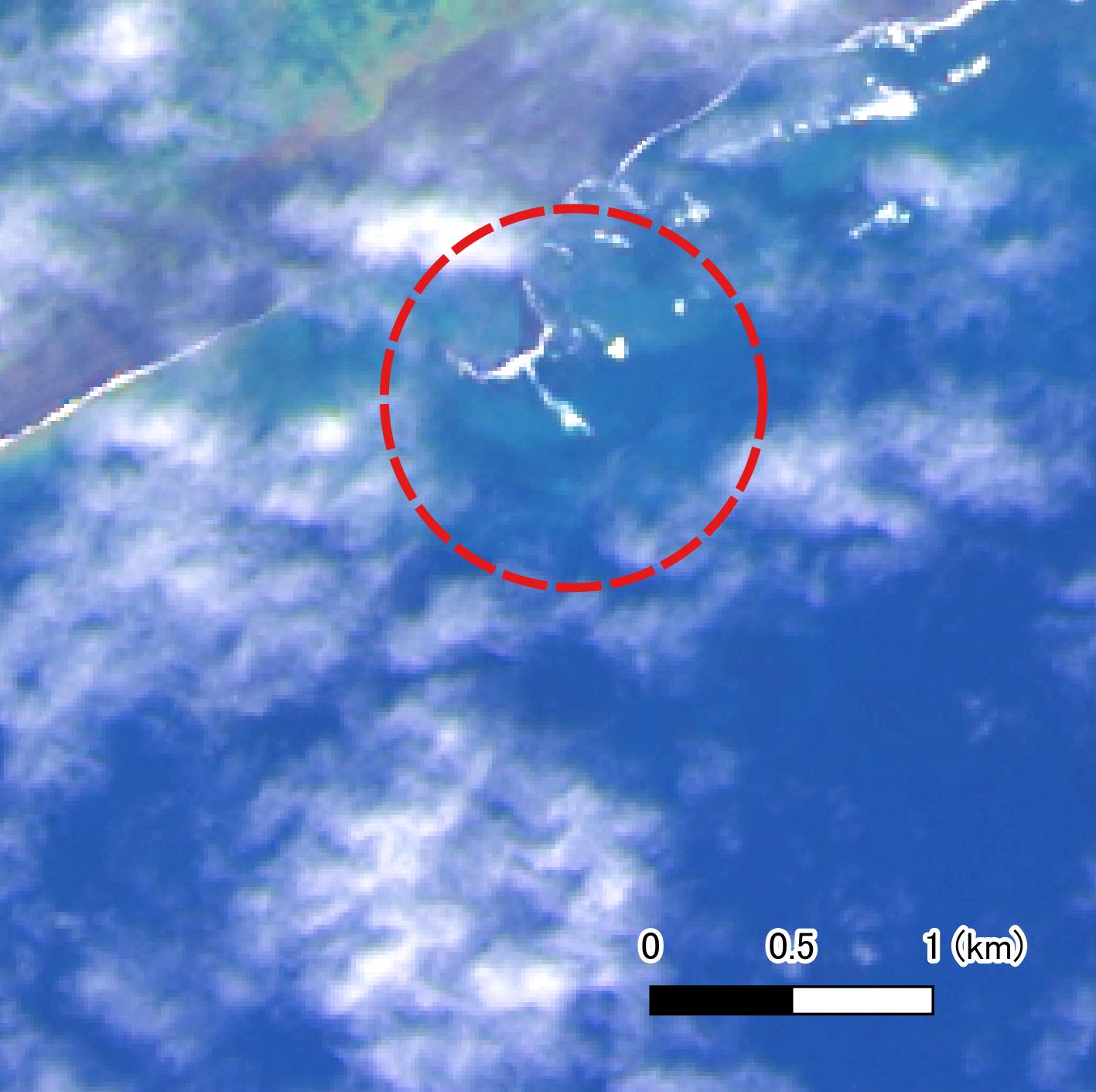
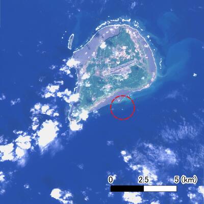
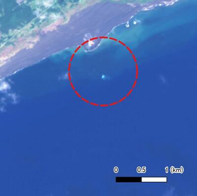
2023年10月21日から翁浜沖で噴火が発生している硫黄島について、Landsatの観測データを使用し、解析を実施しました。
硫黄島付近のLandsat衛星画像(トゥルーカラー画像(パンシャープン):解像度15m)
| 2023年11月3日 | |
|---|---|
|
硫黄島付近のLandsat衛星画像 |
硫黄島付近のLandsat衛星画像【拡大】 |
 |
 |
|
2023-11-03T10:00:35(観測日時は日本時間)
GSI, Source of Landsat-9 data: USGS RGB=Band4,Band3,Band2 |
|
| 2023年11月11日 | |
|---|---|
|
硫黄島付近のLandsat衛星画像 |
硫黄島付近のLandsat衛星画像【拡大】 |
 |
 |
|
2023-11-11T10:00:36(観測日時は日本時間)
GSI, Source of Landsat-8 data: USGS RGB=Band4,Band3,Band2 |
|
| 2023年11月27日 | |
|---|---|
|
硫黄島付近のLandsat衛星画像 |
硫黄島付近のLandsat衛星画像【拡大】 |
 |
 |
|
2023-11-27T10:00:43(観測日時は日本時間)
GSI, Source of Landsat-8 data: USGS RGB=Band4,Band3,Band2 |
|
| 2023年12月29日 | |
|---|---|
|
硫黄島付近のLandsat衛星画像 |
硫黄島付近のLandsat衛星画像【拡大】 |
 |
 |
|
2023-12-29T10:00:39(観測日時は日本時間)
GSI, Source of Landsat-8 data: USGS RGB=Band4,Band3,Band2 |
|
| 2024年1月30日 | |
|---|---|
|
硫黄島付近のLandsat衛星画像 |
硫黄島付近のLandsat衛星画像【拡大】 |
 |
 |
|
2024-01-30T10:00:30(観測日時は日本時間)
GSI, Source of Landsat-8 data: USGS RGB=Band4,Band3,Band2 |
|
お問い合わせ
内容に関するお問い合わせは、「お問い合わせフォーム」からお願いいたします

