

GSI copes with natural disasters
|
Based on various disaster-related information, GSI conducts surveys, researches and observations helpful to prevent natural disasters. When some disaster occurs, GSI speedily collects information on it as well as sets up a headquarter to cope with the situation as occasion demands. GSI carries out such works as emergent analyses of continuous observation data on crustal deformation and earth observation satellite data, post-disaster monitoring, restoration of control points and revision of topographic maps. The data obtained as a result of those works are promptly made available and released to organs concerned, the press as well as the general public, through the GSI home page. Some of the topics covered are:
(J): Main scripts are written in Japanese. Index Map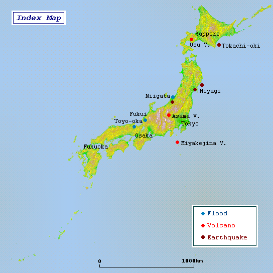
|