International Activities
|
GSI Activities
International Committee
 |
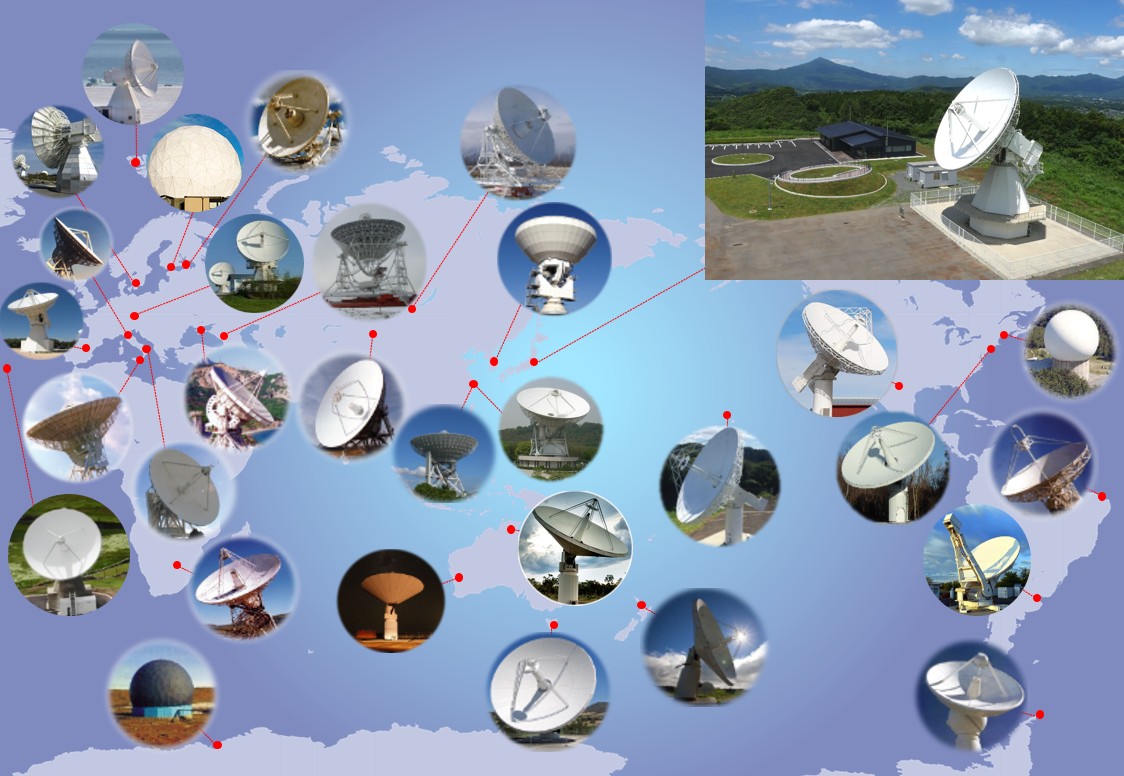
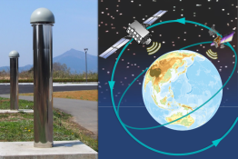
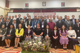
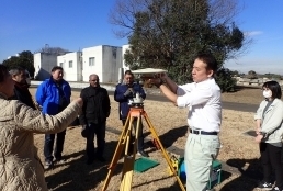
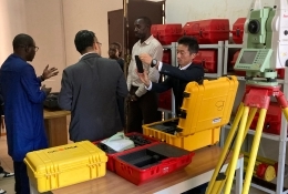
To meet the increasingly global needs of surveys and mapping GSI promotes international cooperation through various channels as a sole responsible national body of this discipline. Activities include participation in international survey and cartographic conference, crustal movement researches through VLBI observations and researches, Global Mapping for understanding the status of global environment, and participation in the Antarctic expedition.
Main ActivitiesFor more detail |