For full functionality of this site it is necessary to enable JavaScript.
Text Size
MENU
: center of photo : clickable (C1-3,C1-5,C1-7,C2-2,C2-4,C2-6,C3-2,C3-4,C3-6,C4-3,C4-5,C5-2) partly eruption cloud in photo : C2- 3,4,5,6,7,8 C3-3,4,5,6,7,8 C4-4,5,6,7


 : center of photo
  : clickable (
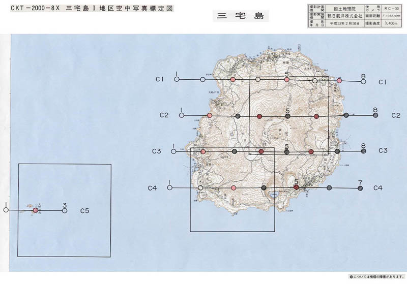