The 2019 White Island Volcano Eruption, New Zealand
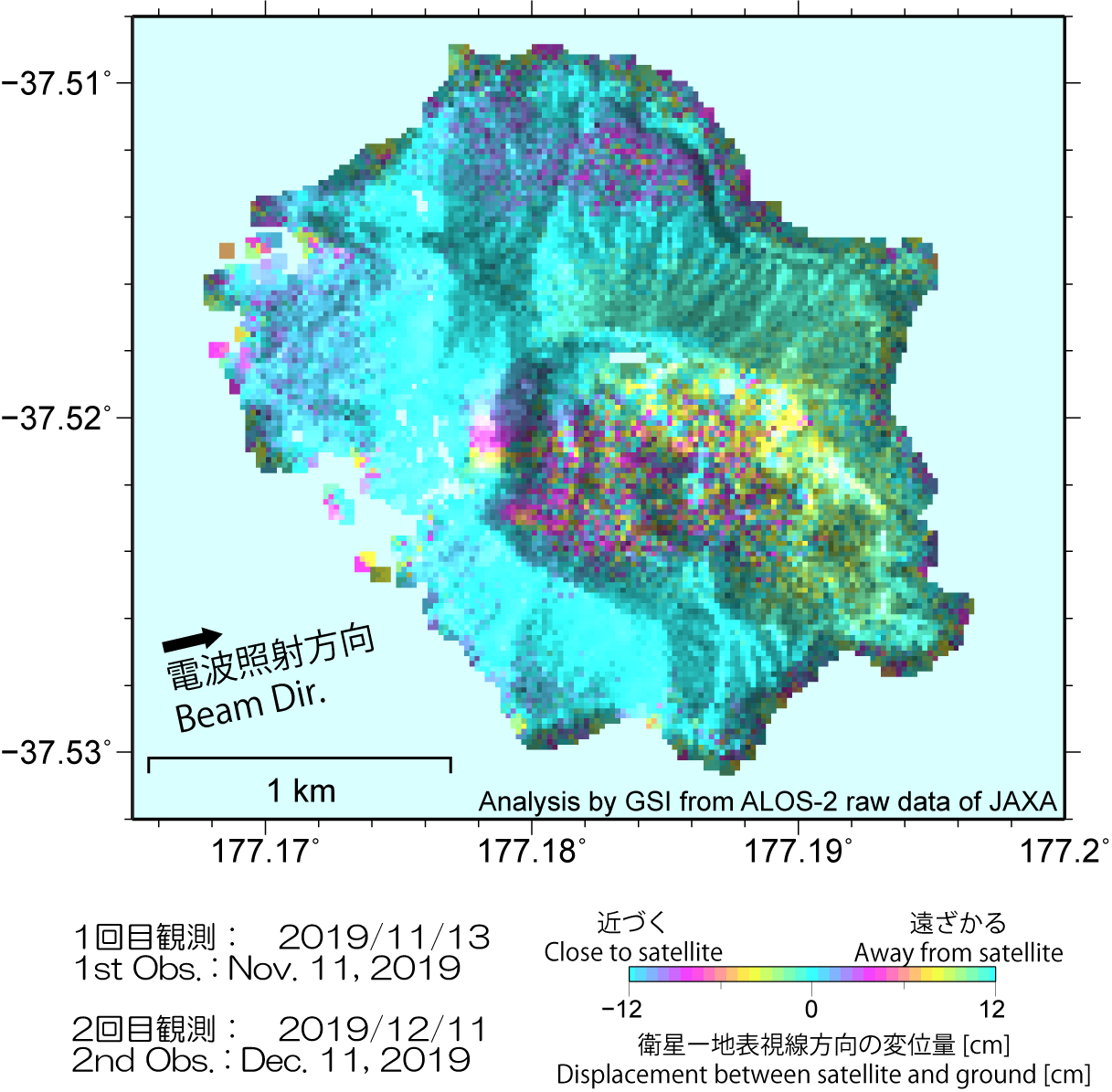
White Island Volcano observed by Synthetic Aperture Radar (SAR)SummaryA large eruption occurred at White Island volcano in New Zealand on December 9, 2019 (UTC). We analyzed Synthetic Aperture Radar (SAR) data of ALOS-2/PALSAR-2 to investigate the ground surface changes associated with the eruption.
SAR intensity image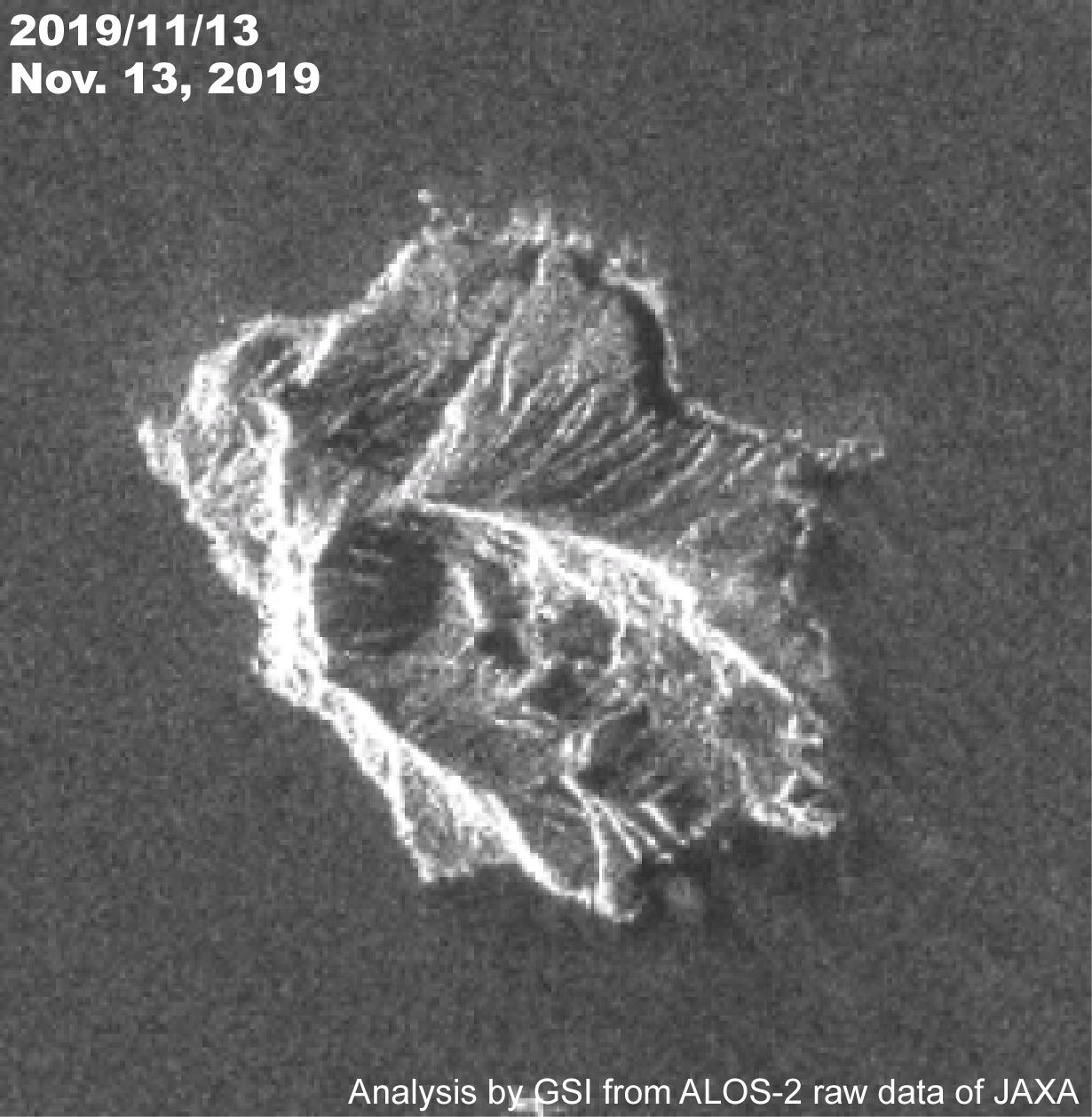 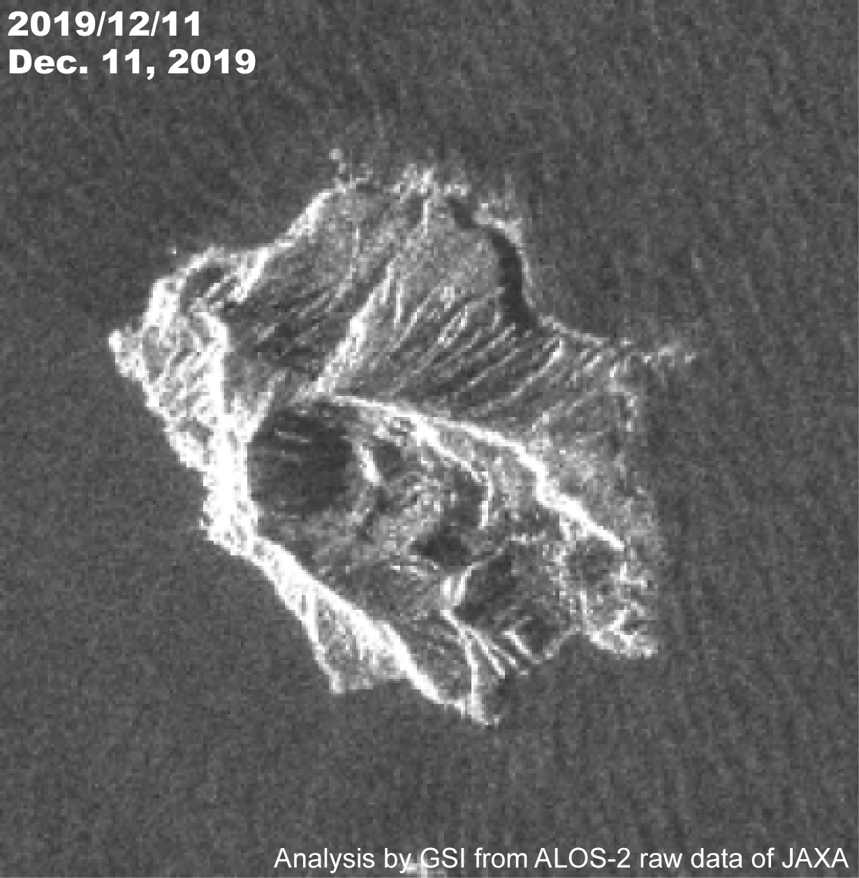 Fig.1 Comparison of SAR intensity image (left: before the eruption, right: after the eruption). [PNG:347KB, PNG:351KB] (The topography may look distorted in the SAR image.)  Fig.2 Animation of SAR intensity image. [Animation GIF:1.4MB] (The topography may look distorted in the SAR image.) SAR InterferogramsAnalysis Conditions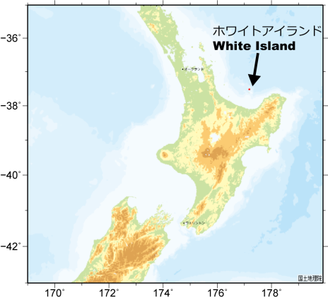 Fig.5 Area of interest
(cf.:ALOS-2/PALSR-2(JAXA)) Analysis by GSI from ALOS-2 data of JAXA. These results were obtained through the activity of the SAR analysis working group of Coordinating Committee for Prediction of Volcanic Eruption SatelliteALOS-2 (Advanced Land Observing Satellite 2) launched by Japan Aerospace Exploration Agency on May 24, 2014
Copyrights and CreditsCopyright (C) Geospatial Information Authority of Japan, All rights Reserved.
We welcome links from your website to this website. When using materials on this website, we ask that proper credit be given. ContactYARAI Hiroshi: Head of Division
KOBAYASHI Tomokazu: Chief Researcher 
|