

Strengthen collaboration with Spain on surveying techniques
Signed an arrangement with Spain for cooperation in VLBI and other space geodetic techniquesOutlineOn January 23, 2024, GSI signed a cooperation document with National Geographical Institute of Spain (IGN) to strengthen cooperation in surveying techniques. Through this initiative, GSI will promote the advancement of space geodetic techniques, which is indispensable for establishing and maintaining international reference for positioning.
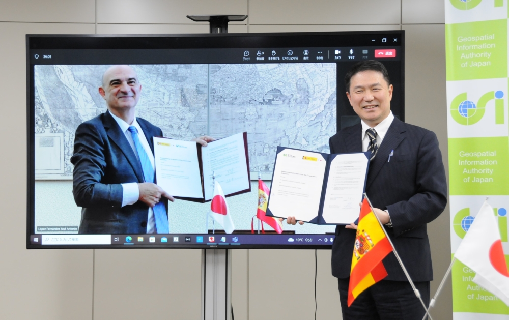
Signing Ceremony DetailBoth GSI and IGN conduct geodetic observations using space geodetic techniques such as VLBI and GNSS, and contribute to the establishment and maintenance of the Global Geodetic Reference Frame (GGRF), which is the international reference for positioning.
With the recent development of automated driving, Unmanned Aircraft Systems (UAS), and location-based services, the importance of maintaining and managing the GGRF as a standard for accurate location is increasing, and it is necessary to continue and develop the geodetic observations that support this trend. To this end, GSI and IGN have signed a cooperation document to strengthen collaboration on geodetic observations. We will continue to promote technical cooperation on surveying using VLBI and other techniques based on the cooperation document, and through this initiative, contribute to more advanced maintenance and management of the GGRF and promote the provision of accurate location information based on this. The following online signing ceremony was held to mark the signing of the arrangement. 1. Cooperative document name: Implementing Arrangement for Cooperative Activities between the Geospatial Information Authority of Japan and National Geographical Institute of Spain (under the Agreement Between the Government of Japan and the Government of Spain on Cooperation in Science and Technology, September 1st 2010) 2. Execution date January 23, 2024 3. Place of execution online (Japanese side: GSI headquarters) 4. Signatory Japan: OKI Shoichi, the Director-General, Geospatial Information Authority of Japan Spain: Jesús Manuel Gómez García, the Undersecretary of the Ministry of Transport and Sustainable Mobility (Lorenzo García Asensio, Director-General of IGN, as a substitute signatory) 5. Scope of cooperation 1) Geodetic observation fields such as VLBI, GNSS and gravity 2) Crustal deformation monitoring and modeling 3) Earth sciences, including Earth observation from space 4) Utilization of the above for construction and maintenance of national coordinates |