

Coastline change caused by the 2024 Noto Peninsula Earthquake detected by ALOS-2 SAR satellite image (Jan. 4, 2024)
OverviewWe detected the land emergence along the coast where the ground raised caused by the 2024 Noto Peninsula Earthquake (Mw 7.6) on January 1st. We compared the SAR intensity images acquired by the ALOS-2 satellite between before and after the earthquake. The shoreline shifted seaward approximately 200 m at most.
Comparison between the SAR intensity images between before and after the earthquakeHow to compare the two images?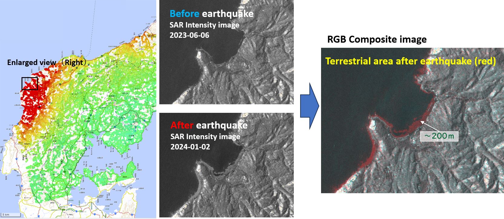
We made RGB composite images using the SAR intensity images acquired before and after the earthquake, and detected the land emergence area caused by the earthquake (red area on the image). Around the Minazuki-Bay, the shoreline shifted seaward approximately 200 m at most.
Land emergence along the coast detected by SAR images using ALOS-2 satellite data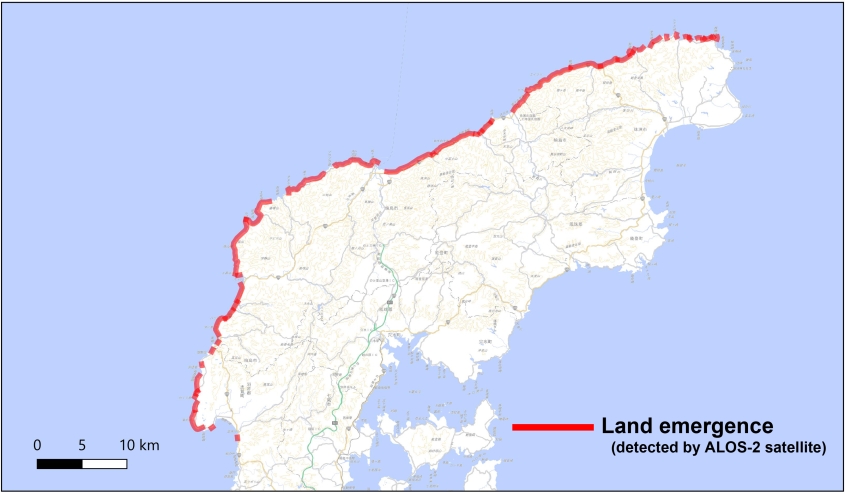
Details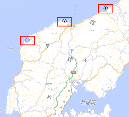
[1] In and around Nafune port 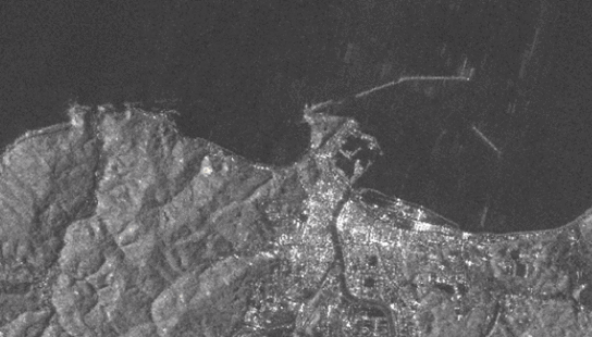
[2] In and around Wajima city 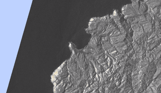
[3] In and around Minazuki bay [1] In and around Nafune port
[2] In and around Wajima city
[3] In and around Minazuki bay
Analysis by GSI from ALOS-2 data of JAXA
*The results in this page are preliminary and it is possible to be updated by father detailed analysis. *ALOS-2 data were provided from the Earthquake Working Group under a cooperative research contract with JAXA (Japan Aerospace Exploration Agency) ContactGeography and Crustal Dynamics Research Center
Director of Space Geodesy Research Devision KOBAYASHI Tomokazu 
|