Antarctic Research Expedition
|
Since the first expedition of 1956, the GSI has regularly dispatched personnel and contributed to the basic data development by providing important scientific data on the Antarctic Continent collected from its routine operations such as survey of control points, gravity and geomagnetism as well as GNSS(GPS) continuous observation and topographic mapping through aerial.
The following homepage provides survey results, etc. that have been accumulated through Antarctic Research Expedition to date. URL : http://www.gsi.go.jp/antarctic/index-e.html
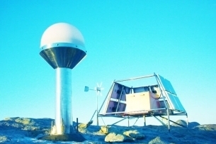
GNSS (GPS) observation
GNSS-based Control Station
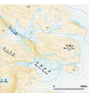
Part of topographic map "LANGHOVDE"
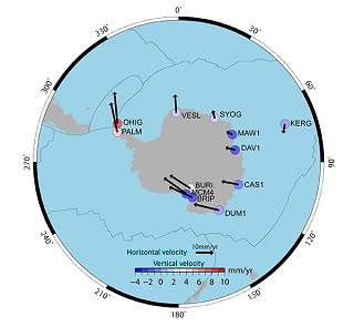
Movements of Antarctica |