

GSI Maps
GSI MapsGSI Maps is a web map that shows the state of Japan's land surveyed by the Geospatial Information Authority of Japan, such as topographic maps, aerial photographs, elevation data, topographic classifications, and disaster information. You can also see it in 3D. It also has functions such as displaying cross-sections of the terrain and comparing old and new aerial photographs. More than one thousand sites use this system. 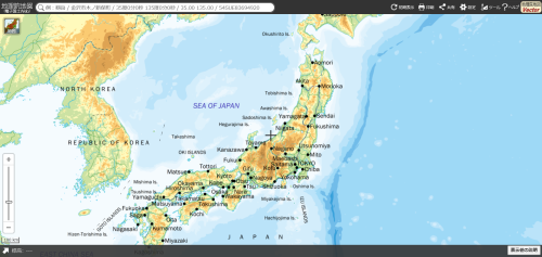 |