

Geospatial Information Authority of Japan receives JICA President Award: 60 years of GSI international contributions highly valued
|
Announcement date: October 2019
The Geospatial Information Authority of Japan (GSI) has been accepting trainees from developing countries through projects of the Japan International Cooperation Agency (JICA) every year since 1959. More than 900 trainees from 100 countries have been accepted, and since 1964, more than 250 GSI staff members have been dispatched overseas as specialists.
The GSI has been contributing to the enhancement of organizations and human resource development in developing countries by implementing training projects that deal with a range of topics in geographic information. This field represents indispensable fundamental information for national land development, and the GSI projects have addressed topics from the basics to cutting-edge technologies. The JICA President Award was given to the GSI for its efforts and achievements in promoting international cooperation activities. 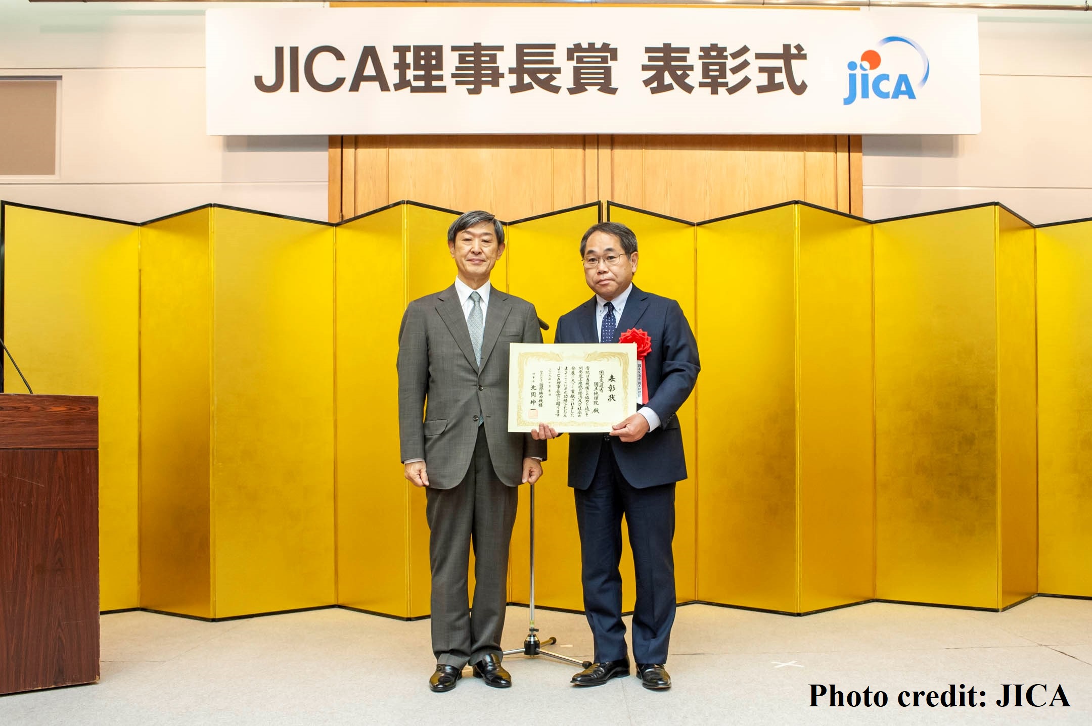 In the presentation ceremony on October 8, a certificate of commendation was given to KUROKAWA Junichiro, director-general of the GSI, by President KITAOKA Shinichi of JICA. 【About the JICA President Award】 The Japan International Cooperation Agency annually presents the JICA President Award to commend individuals and organizations that have made significant contributions to the development of human resources and society in developing countries through international cooperation projects. This year, the 15th year of the JICA President Award, 58 individuals/organizations received the honor.
Acceptance of trainees from developing countriesAmong various training courses in which the GSI has accepted more than 900 trainees from 100 countries, the “Planning and Management of National Mapping and Surveying” is a key GSI course. In the past 56 years, the GSI has helped to foster specialists who can take leadership roles in the planning and management of surveying and mapping in their countries. In this training course, specialists from the GSI use the opportunities of lectures and practical work to provide detailed technical guidance and training according to the current situation and needs of each country. Trainees learn practical mapping skills, including both basic and up-to-date skills.
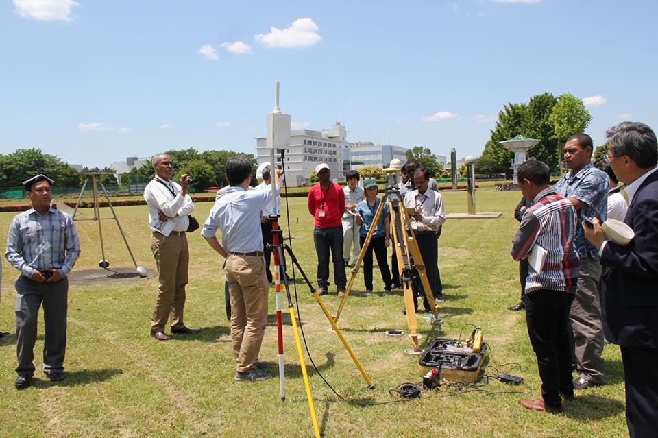 GNSS survey of the GSI premises in 2016 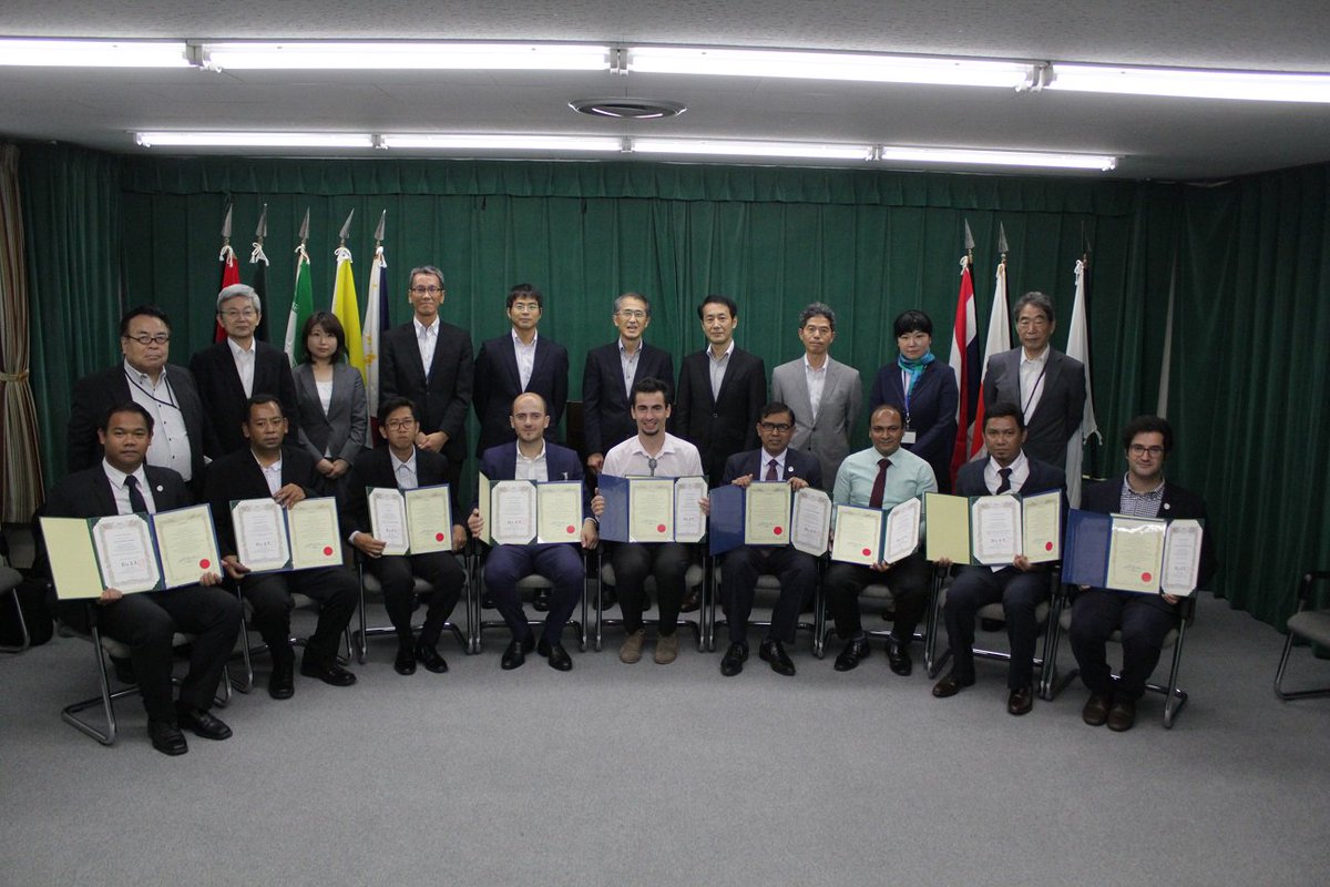 Trainees with the certificate of completion for the “Management and Utilization of National Control Points for Efficiency of Survey” course in 2018 Assignment of specialists abroadGSI has assigned 250 specialists to developing countries such as Indonesia, Guinea and Kenya. Starting in the 1990s, these specialists have been engaging in the transfer of technical knowledge on topographic mapping and the development of national control points in Bangladesh. Recently, GSI specialists helped to introduce and establish Myanmar’s first network of GNSS Continuously Operating Reference Stations. GSI specialists use knowledge of new technologies to provide advice and guidance, and help to foster local specialists who can respond to the need for mapping that supports rapidly increasing local infrastructure development.
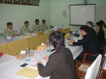 Meeting with officials from the Myanmar Survey Department in 2017 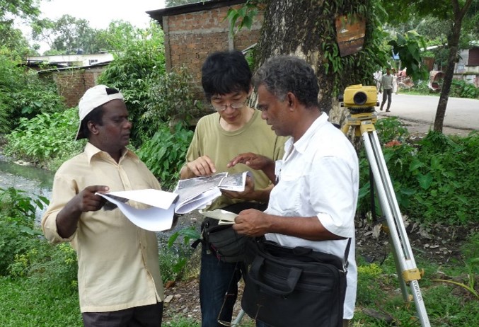 Technical assistance provided by a specialist in Bangladesh Future developmentDemands for technical cooperation in developing countries change with the times. GSI will steadily advance technical cooperation to developing counties not only by supporting topographic mapping but also by responding to new technical needs, including the need for the development of the GNSS Earth Observation Network System. It is hoped that GSI’s international cooperation will lead to the development of infrastructure for the utilization of geospatial information in developing countries and, consequently, will have positive effects on the overseas expansion of Japanese companies and Japan’s survey technologies.
|