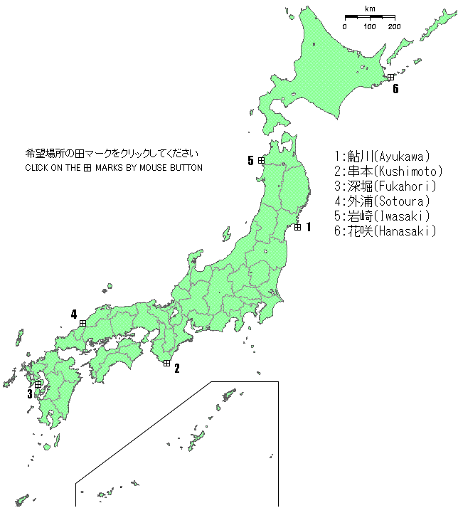
List of tide stations managed in the past

Map of the tidal stations of the Japanese Imperial Land Survey

 Tide station    Latitude    Longitude    Type of tide gauge    Tide datum plane    Height of the fixed point    Year of establishment    End of Management Month    Tide level data  
Kushimoto 33-28N 135-47E Kelvin 6.000m --- May 1891 Dec. 1924 Click here
Fukahori 32-41N 129-49E Kelvin 5.000m --- Jun. 1891 Dec. 1924 Click here
Sotoura 34-54N 132-05E Kelvin 4.000m --- Jul. 1891 Dec. 1924 Click here
Ayukawa 38-18N 141-30E Kelvin 5.000m --- Oct. 1891 Dec. 1924 Click here
Iwasaki 40-35N 139-55E Kelvin 5.000m --- Sep. 1892 Dec. 1924 Click here
Hanasaki 43-17N 145-35E Kelvin 5.000m --- Nov. 1895 Dec. 1924 Click here
Wajima 37-24N 136-54E G.S.A.T 3.000m 2.1111m Jan. 1894 Jan. 2024 Click here
 
  • The values of latitude, longitude and altitude are the values recorded at that time.
  • Method for calculating tidal height: Tidal height = height of the fixed point - constant of the tide datum plane + tide level
  • "G.S.A.T" in the column of the type of tide gauge is an abbreviation of Geospatial Information Authority of Japan Automatic Tide Gauge. In Japan, the gauge is called "High resolution automatic tidal system."
  • "Kushimoto" ,"Fukahori","Sotoura","Ayukawa","Iwasaki",and"Hanasaki"are tide stations of the former Japanese Imperial Land Survey, which were transferred to the Marine Meteorological Observatory of the Ministry of Education in 1924.