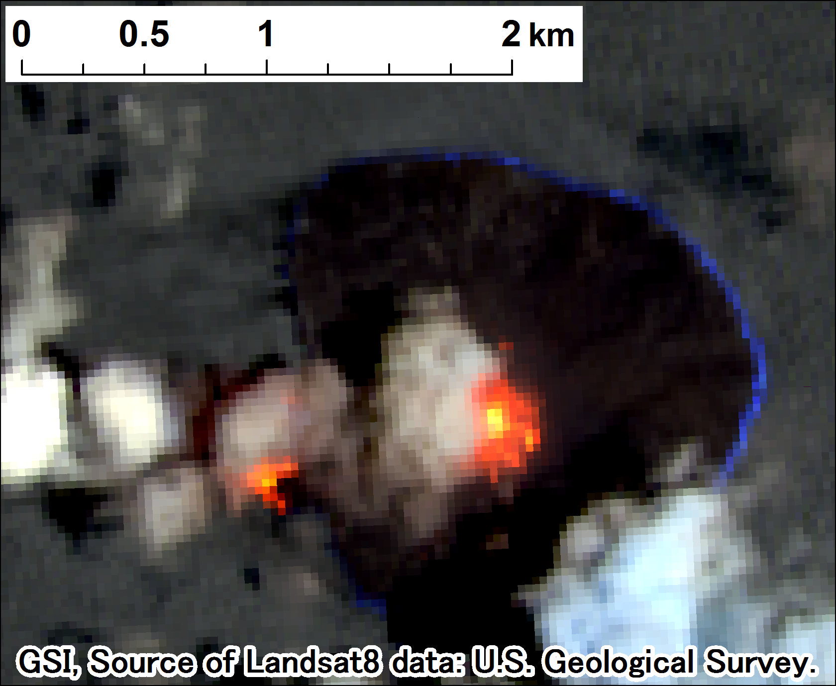
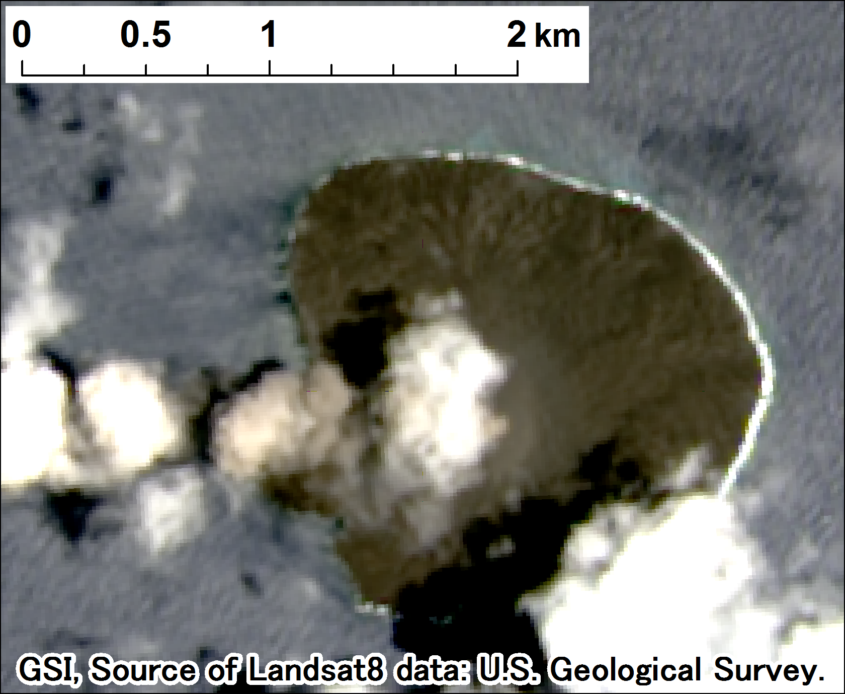
Nishinoshima eruption observed by Landsat8 since December 2013
|
Geospatial Information Authority of Japan (GSI) has monitored volcanic eruption at Nishinoshima using imagery acquired by Landsat 8 OLI sensor (USGS and NASA) since December 2013.
Once a course of eruption activities had occurred from Dec.2013 until June 2016. Monitoring has been resumed since the re-eruption in April 2017 after an interval. Observation dates are: (2013) Dec. 24 (2014) Feb. 26, Mar. 30, May 17, June 2, July 4, Aug. 21, Sep. 6, Oct. 8, Oct. 24, Nov. 25 (2015) Jan. 12, Feb. 13, Mar. 1, Mar. 17, Apr. 2, Apr. 18,May 4,May 20,June 5,June 21,July 7,July 23,Aug. 24,Sep. 25,Oct. 11,Nov. 12,Dec. 14 (2016) June 23 (2017) Apr. 7,Apr. 19(night),May 5(night),May 9,May 12(night),May 21(night),May 25,June 6(night),June 10,June 22(night),June 26,June 29(night),July 8(night),July 12 The following products were obtained through a joint reserch program with Tokai University.(until 2015-05-20)
For a series of previous imagery, please see each image in the following contents.
ContentsFrom 2017-04-07 Panchromatic Imagery and Pan-sharpen Imagery (Spatial Resolution: 15 meters) IR-imagery observation and findings Links to the related information ※Browsing Imagery with GSI map(Pan-sharpen Imagery)(Open link in a new window) Links to the related information Geospatial Information Authority of Japan (GSI)
Japan Coast Guard Press Release (in Japanese) |