

Fukushima Hamadori, Japan Earthquake (M7.0): Crustal deformation detected by ALOS/PALSAR data
Crustal Deformation Observed by Synthetic Aperture Radar (SAR)Released: Apr. 25, 2011 Japanese version of this page
Crustal Deformation by InSARA M=7.0 (JMA) earthquake occurred in Fukushima Hamadori Region, Japan on April 11, 2011 (UTC). An interferometric analysis of the data acquired by the Phased Array type L-band Synthetic Aperture Radar (PALSAR) onboard the Advanced Land Observing Satellite (ALOS) allows us to clarify spatial distribution of surface deformation associated with the earthquake. The interferogram shows clear displacement discontinuities along Idosawa fault and Yunotake fault.
InterferogramClick the image below to download the large one [PNG: 4.21MB]
 NOTE: RARR (Range And Range Rate) information is used for the slave SAR data. kmz file Click the image below to download kmz file (3.56MB) 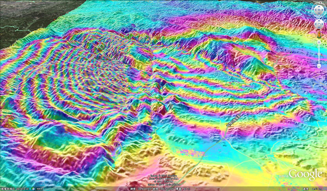 Fukushima Hamadori, Japan Earthquake
Satellite and SensorPALSAR sensor onboard "Daichi" (ALOS) satellite launched by Japan Aerospace Exploration Agency on January 24, 2006
Paper, Report, PresentationTomokazu Kobayashi, Mikio Tobita, Mamoru Koarai, Takaki Okatani, Akira Suzuki, Yuko Noguchi, Masayuki Yamanaka, Basara Miyahara, InSAR-derived crustal deformation and fault models of normal faulting earthquake (Mj 7.0) in the Fukushima-Hamadori area, Earth, Planets and Space, 64, 1209–1221, 2012. [html]
ContactKOBAYASHI Tomokazu : Researcher
TOBITA Mikio : Head of Division   Some files are available in PDF format. To view PDF files, Adobe System's free "Adobe Reader" software must be installed. Please visit the following link to download the free software. |