Map data (PDF, TIFF format) : Outline
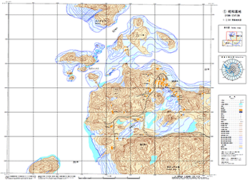
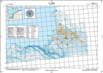
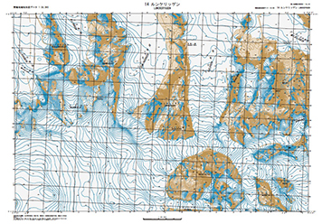
OutlineMap data (PDF, TIFF format)These data are schematized with map symbols and others based on vector data of topographic map.
Type of Data
|


MENU
| GSI HOME > Antarctic Geospatial Data > Products Categories > Map data (PDF, TIFF format) : Outline |
OutlineMap data (PDF, TIFF format)These data are schematized with map symbols and others based on vector data of topographic map.
Type of Data
|