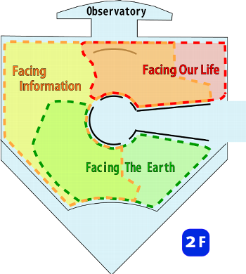
Permanent Exhibition Room
Permanent Exhibition RoomPermanent Exhibition Room introduces wide-ranging, in depth, and fascinating activities of map and survey.
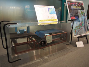
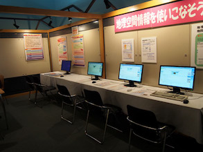
Through panels, videos, PC demonstrations and other exhibitions, you may have better understanding and knowledge of map and survey. ZONE INFORMATIONSurvey technology has clarified the land and the earth and has enlightened us on the crustal movement of the earth.
Maps have been created for depicting a round globe on flat surfaces, expressing their ways of life from generation to generation.
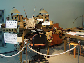
Stereoplotter Stereoplotters are machines that are used to create topographic maps from aerial photographs. 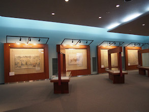
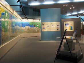
Antique Maps Maps represent our lives, and have been used to preserve our beautiful national lands and environment.
GSI Web |